Du vélo à la donnée : une nouvelle approche pour diagnostiquer les réseaux cyclables
Contexte
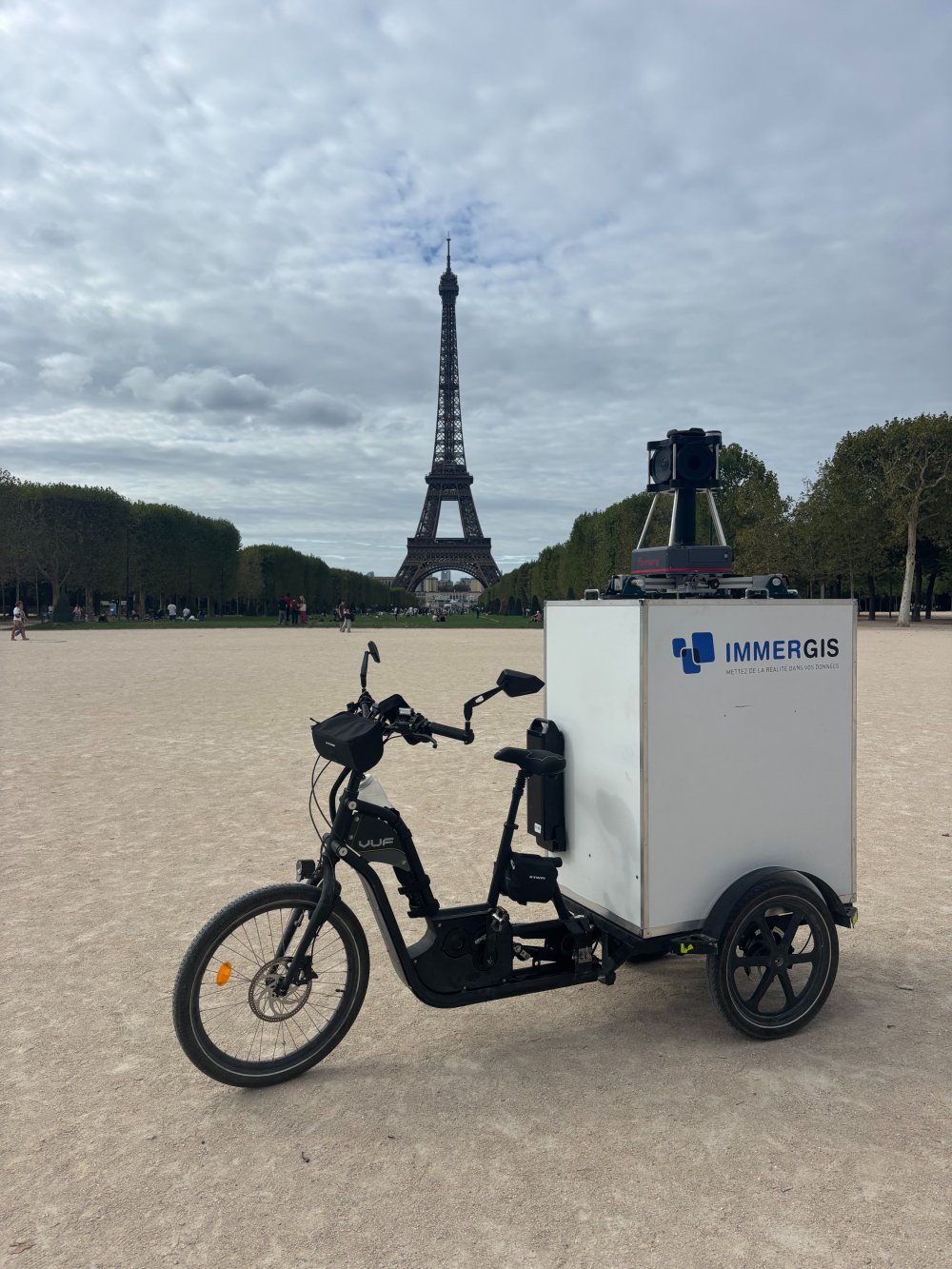
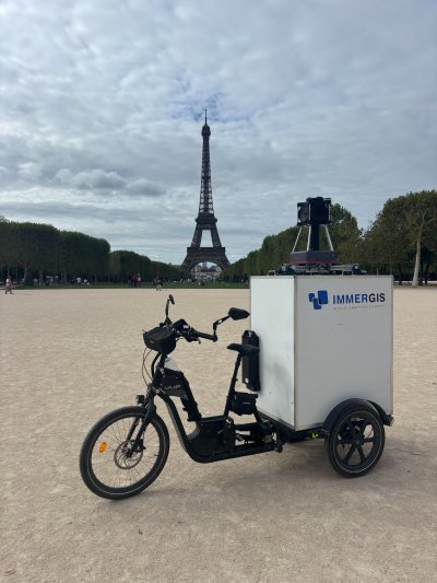
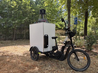
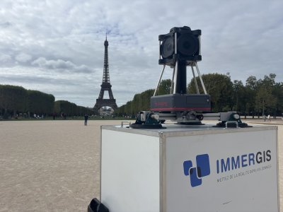
Immergis uses a camera-equipped tricycle to conduct field surveys and capture georeferenced HD immersive imagery. This approach makes it possible to document cycling infrastructure, parks and gardens, as well as cemeteries, including areas inaccessible by car. First tested in Paris, the images will soon be published on the City of Paris' Panoramax platform, providing easier access to up-to-date information on public assets.
Acteurs
Immergis: Design and implementation of field surveys.
Greater Paris Metropolis: Project client and beneficiary of the collected data.
Public asset managers: Users of the data for managing cycling infrastructure, parks and gardens, and cemeteries.
Visuels